Last year, for the late May bank holiday, I set myself the challenge of getting 100 SOTA points in the weekend in the Vosges area of eastern France, an area renowned for being an easy place to get lots of points fairly quickly.
This year, in May 2019, my challenge was to do 120 points in about two-and-a-half days. Because of flight availability, I flew into Frankfurt (about 3 hours’ drive from the Vosges), and then stayed the first night in Colmar. This gave me a good excuse to tackle five summits on the first day, which I hadn’t got to last year as I wasn’t so far north. In doing this, I was basically following the route in Luc, ON7DQ’s blog, with one additional hill.
FL/VO-007: Le Grand Brézouard
Driving a rental car, I didn’t want to take the risk of the gravel path taken by Luc, so I parked at the end of the tarmac road at the Auberge de Haycot, where there’s space for a few cars on the grass verge at 48.19652993,
7.139014. From here, you can simply follow the gravel road to the next bend, where a small track signposted ‘Brézouard GR 5’ cuts through the trees on your left. From here on, follow the signs marked with a red square.
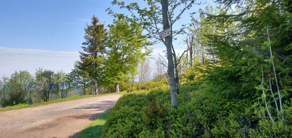
This is a pleasant forest trail, which brings you out to a clearing at 48.19311678, 7.146474. From here, you take the right-hand most (fairly steep) path up through the trees, which eventually leads to the summit.
Luc’s blog post mentions an aluminium flag pole at the summit, which can be used to attach an antenna to. That’s no longer there, having been replaced by a small Versatower section surrounded by trees and housing a solar panel and anemometer – not the sort of thing to hang antennas off!
The ascent and descent took about 30 minutes in each direction.
Total climbing: 325 m
Total time: 01:31:57
FL/VO-016: Le Rossberg
There’s really very little to say about Le Rossberg (not to be confused with VO-013 Rossberg). It’s a very easy little activation, starting from 48.18332998, 7.09295744 (about 13 minutes’ drive from Le Grand Brézouard) where you can park on the verge at the start of the track. From here, the path through the forest barely rises and the navigation is easy. The only thing to notes is that where the path splits you follow the cross-country ski path signed with the orange sign to the left (not the blue one to the right).
On reaching the highest point on the path, I made a little detour off the path to find a small clearing in the trees just to get myself easily into the activation zone.
The ascent took about 16 minutes and the descent took about 12 minutes.
Total climbing: 147 m
Total time: 01:04:09
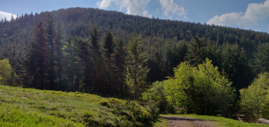
FL/VO-003: Gazon du Faing
About 40 minutes’ drive south from Le Rossberg is the Gazon du Faing ridge. This is a popular spot but there’s plenty of parking at 48.10897979, 7.06415083.
Luc’s blog post describes the (anti-erosion) wooden steps up the path to the summit and how annoying they are. You don’t have to take that main path, however, because the SOTA manual defines the summit of Gazon du Faing as being at 48.1138, 7.0795, which is to the north of the viewpoint the path goes to. Consequently, you can instead take the easier path marked with outlined blue circles, through the scrub to the top.
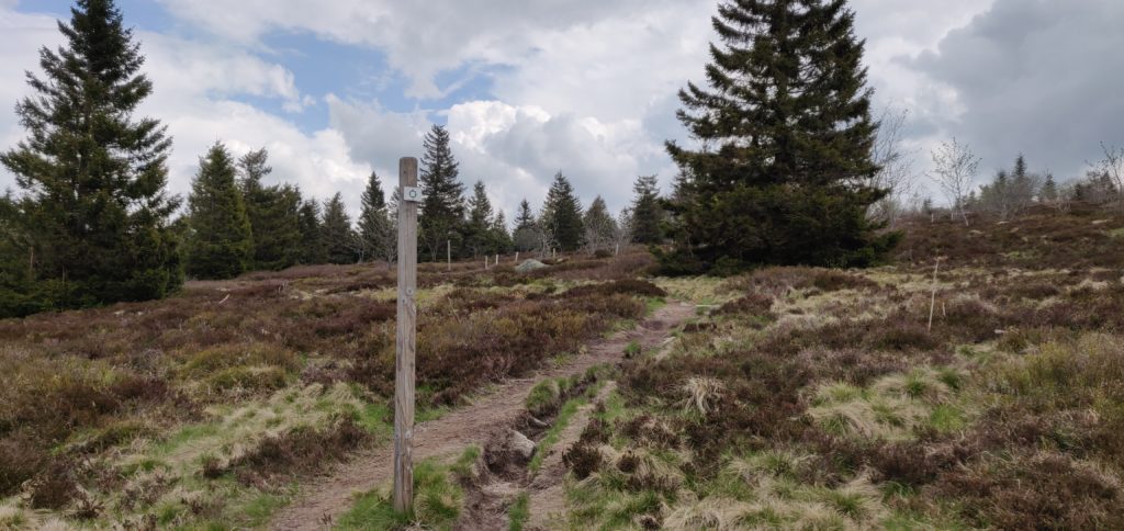
Once at the summit, there’s very little here. No cairn or trig point, no marker of any sort. It’s just barren. With the main bulk of the tourists on the other peak, it’s also quite a peaceful spot with plenty of space to set up.
The ascent took me 28 minutes and the descent took 20 minutes. (Note that on the map below the summit marked is the southern summit, whereas I activated the northern summit as defined in the manual. It’s all the activation zone either way!)
Total climbing: 133 m
Total time: 01:18:12
Back at the car a short, sharp hail shower set in. It was good timing getting back, but we sat it out for a few minutes before heading to the next summit, about 55 minutes’ drive away.
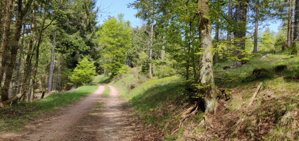
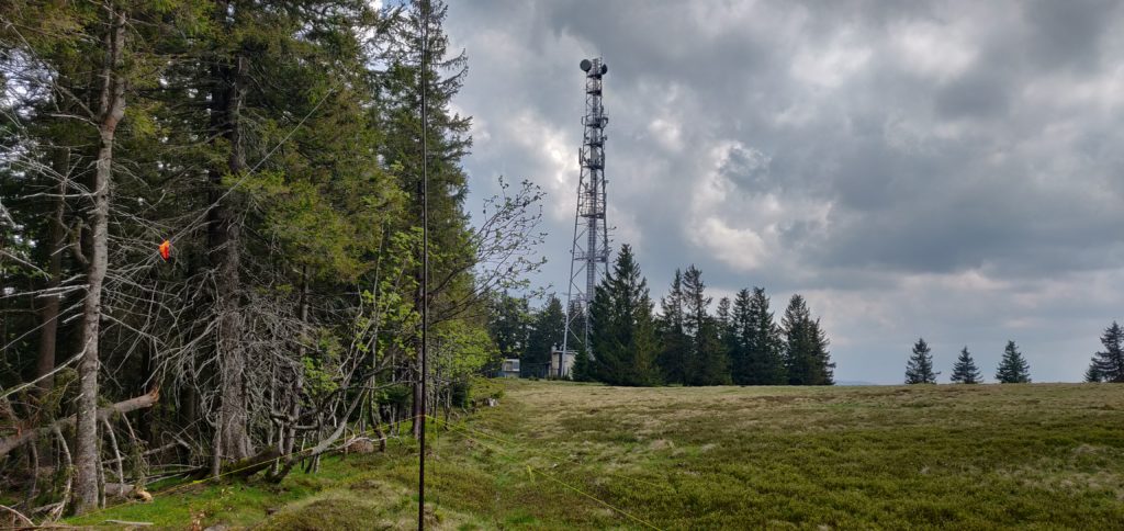
FL/VO-014: Chaume de Sérichamp
Luc’s blog post describes parking at 48.109832, 6.994016 on a ‘degraded’ road. Again, with the hire car, I opted for a slightly longer walk that didn’t risk any damage! To this end, we parked at 48.09950669, 6.99626895, at the end of the tarmac road. From here, there’s a steep gravel forestry path up the hill (motor vehicles are not permitted, except forestry workers). This road rises about 220m in 2km before coming out to the clearing where Luc parked.
Once at the clearing, you can follow the road to the transmitter tower. Like Luc, I set up on the field boundary just behind the tower.
The ascent took 40 minutes and the descent took 23 minutes.
Total climbing: 363 m
Total time: 01:39:27
FL/VO-089: Haut de la Pierre de Taille
With some time to fill, I could add another activation to Luc’s four-summit route. My backup plan was to tackle VO-020 Le Croix Hanzo, but that’s quite a hike from the outskirts of the village of Xonrupt-Longemer, and I didn’t quite have time for that one. Looking at the map, together with the SOTA Spotter app’s valuable ‘find nearby summits’ feature, I quickly realised that an activation of VO-089 Haut de la Pierre de Taille was more achievable in the time left before dinner.
I parked at the end of the road at 48.1021206, 6.89313458 on the verge just in front of the ‘no motor vehicles’ sign, and then walked up the track until it started going downhill again. It’s about a 1.5km walk each way, only rising by about 120m, so it’s another easy one.
Once again, when I got to the top of the road, I went into the forest a little bit just to ensure I was easily into the activation zone, as the actual summit point is well into the woodland. As with all my operations this weekend, I quickly made a sufficient number of QSOs on 30m CW before heading back down again and into La Bresse for dinner.
The ascent took about 22 minutes and the descent took 16 minutes. In total, this gave me 50 points (all five summits are worth ten points) for the day – a good start towards my target of 120 points.
Total climbing: 204 m
Total time: 01:11:42
The rest of the weekend
The rest of the weekend was formed of the following activations:
- Sunday was a repeat of my first day in the Vosges last year, covering Molkenrain, Le Grand Ballon, Storkenkopf and Rothenbachskopf, with the addition of Le Hohneck (which I did on day two last year).
- Monday was also made up of summits I did in 2018: Haut du Rouge Gazon (done on day three last year) and then Le Grand Ventron (also from day two last year), about 20 minutes’ drive from Rouge Gazon.
This gave me a total of 120 points from the weekend.


