This week, I’m on the GT3PYE/P DXpedition to the Isle of Man with the Camb-Hams. As part of the trip, Rob M0VFC, Colin G4ERO and I have been activating all the SOTA summits on the Isle of Man.
It’s perfectly possible to do them all in a single day, amassing 18 points from the five hills, but we chose to split them over two days.
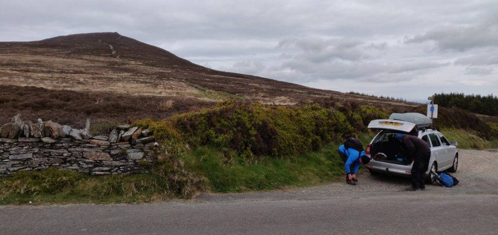
GD/GD-001 Snaefell
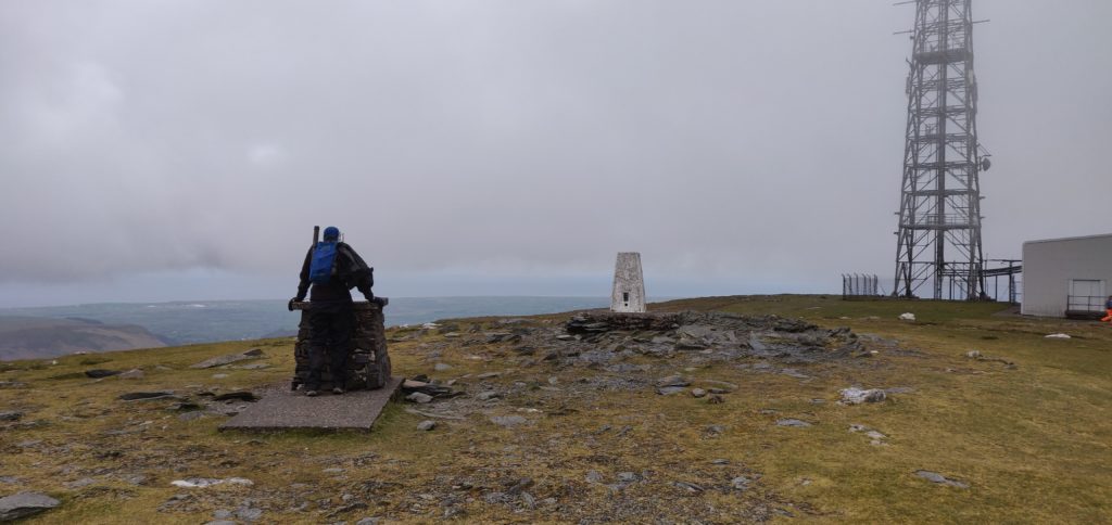
Our first stop was the highest point on the island, Snaefell, worth 8 SOTA points. It’s a really easy walk starting from the car park at SN 398 868 and then walking straight up on the obvious path. It’s only moderately steep, rising just over 200m in about a kilometre. The ascent has some views over the rest of the island, although we did it in cloudy conditions and so we didn’t have the most impressive sight. At the top, bear right behind the tram stop and there is plenty of space to set up beside the transmitter masts. We didn’t notice any significant QRM from the masts on HF, but 30m was certainly very slow and getting the requisite four QSOs was a bit of a struggle. A strong northerly wind didn’t make it any more comfortable.
The route up took 30 minutes, and the descent was about 20 minutes.
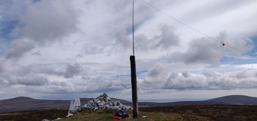
GD/GD-002 Slieau Freoaghane
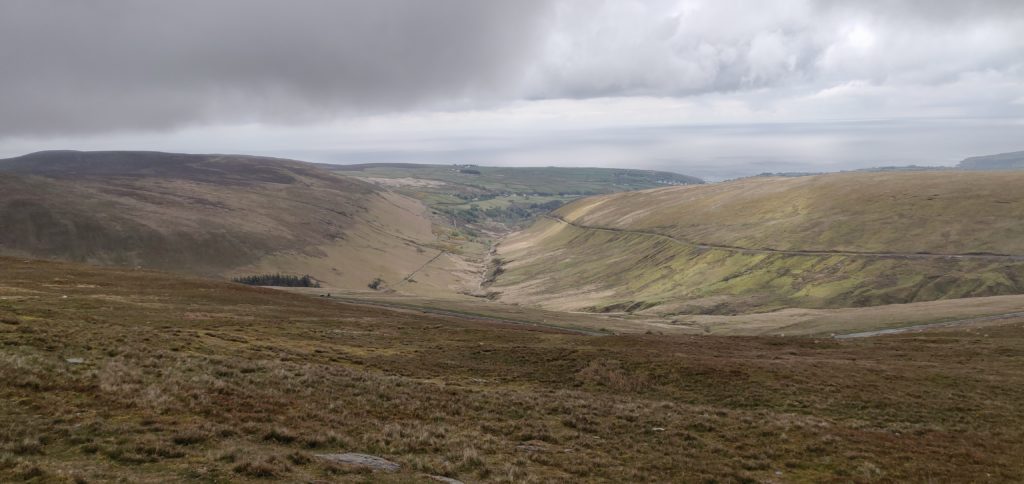
After leaving Snaefell, we headed to Slieau Freoaghane, about 15 minutes’ drive away. This four-point summit is another approximately 200m ascent but over a slightly longer distance and it was a much more interesting walk than Snaefell.
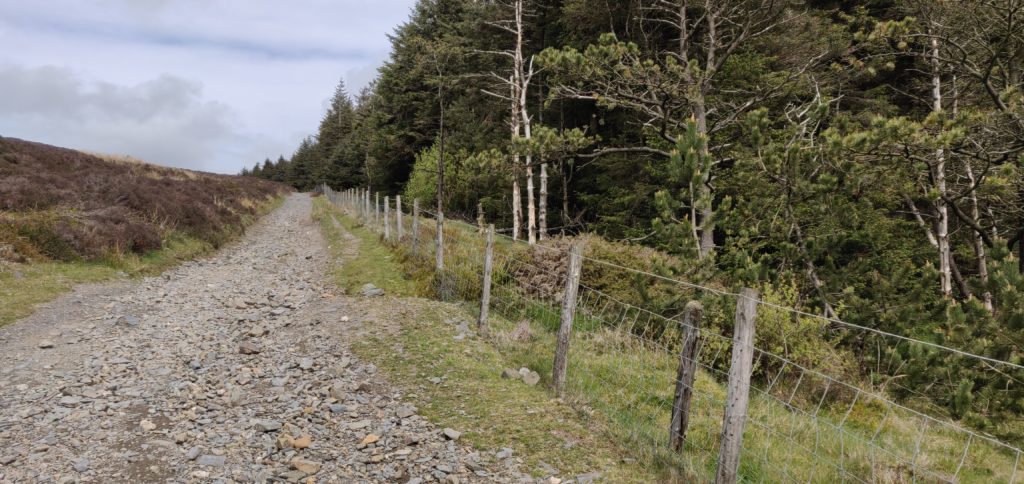
Having parked at SN 342 867, you can walk up the ‘Green Way’ heading north alongside the plantation. The incline here is very slight. The Green Way is a gravel ‘road’ suitable for motorbikes, mountain biking and the like, although we only saw one such vehicle on our travel. There’s a gate at the bottom of the Green Way to prevent car access.
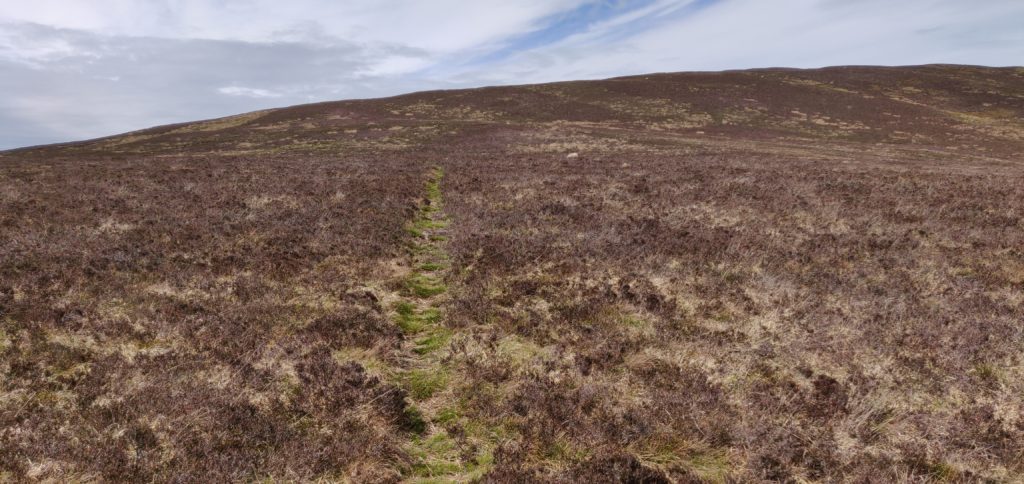
The OS map suggests there is a path to the left at SN 342 873: we saw no evidence of this, but you carry on the Green Way at this point anyway. The path you do want to take is at SN 244 877 and it’s a barely-visible sheep track heading up through the heather. This is the steepest part of the climb but it was without any major problems.
The top of the hill has a very useful wooden pole next to the cairn and trig point, so I bungeed my fibreglass pole to the wooden pole (which has some nails sticking out of it for extra ease-of-use!), so saving me getting out the guying kit.
Again, HF was very slow and I had to make a couple CQs on VHF to qualify. Luckily, these got me across to Northern Ireland and so we were all able to qualify the summit.
This was a longer walk, taking 40 minutes for the ascent and 25 minutes back down.
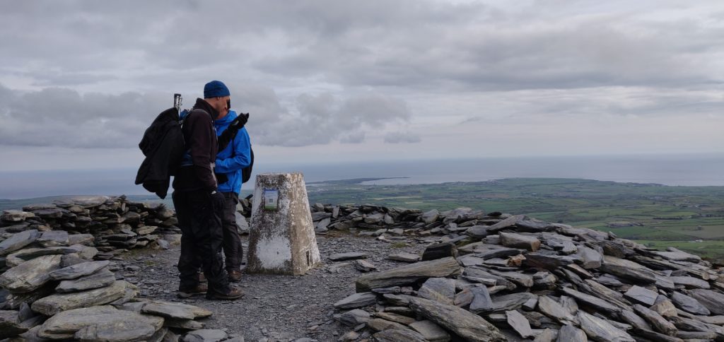
GD/GD-003 South Barrule
This is another four-point hill and about a 25 minute drive from GD-002. It’s also fairly easy to activate. You can park on the verge at the start of the track at SN 248 756 and again just follow the obvious grass path straight to the top. The ascent took about 20 minutes to climb 170m in about a kilometre. Incidentally, the transmitter mast shown on my 2015 OS map as being next to the path is no longer there.
The top of the hill is an iron-age hill fort and the trig point is inside a cairn. Again, this is a fairly flat-topped hill, so there’s plenty of space to set up. By now, it was much later in the afternoon and 30m was performing a lot better than it had earlier in the day, which was a great relief and led to a rather pleasant activation in slightly warmer sunshine than we had had hitherto.
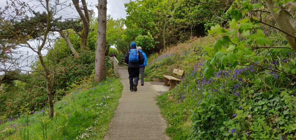
GD/GD-004 Bradda Hill
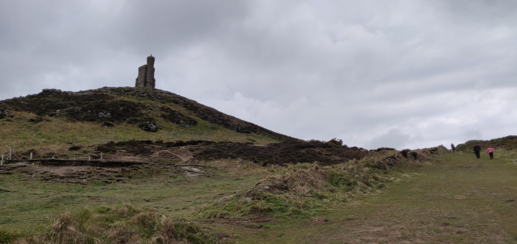
The following morning started sunny so we decided to make a decent circuit of the walk to Bradda Hill, a one-point summit near Port Erin on the south-west coast. We parked in the large carpark at SH 192 698, and then followed the nice, mostly concrete, path around to Bradda Head tower.
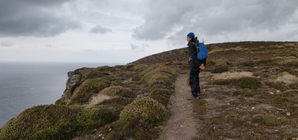
Just before the tower, stay on the main path to go behind the tower. The path in front of the tower along the cliff has eroded into the sea. Once you have past the tower, a grass path re-joins the coastal path hugging the cliffs until you are nearly at Bradda Hill. There is a substantial drop down the cliff but the path is mainly set a little back from the edge, and so it didn’t feel especially dangerous but you might need care in some places in slippery conditions.
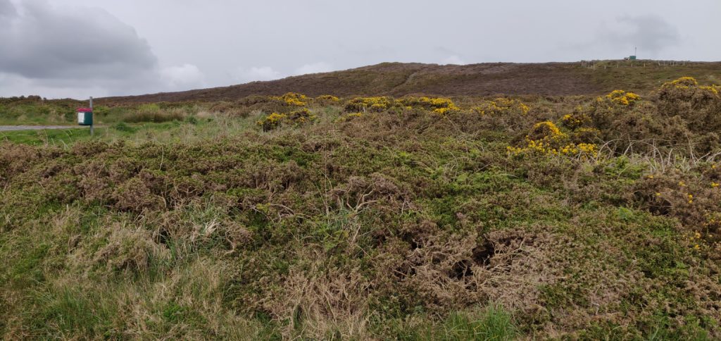
There’s nothing particularly at Bradda Hill. It’s just a lump of heather sticking out from the coastal farmland but there is a stone wall near the cairn which can provide some shelter from a southerly wind. HF conditions were again very difficult and I had to give up on 30m after one call and lots of CQing to borrow Rob’s rig on 40m instead.
Once we had finished operating, we continued east on the path along the plantation. The path down to Ballaglonney is a little steep and we were glad we hadn’t come up that way. I needed to get my walking poles out to improve my balance, although some steps have been cut into the earth.
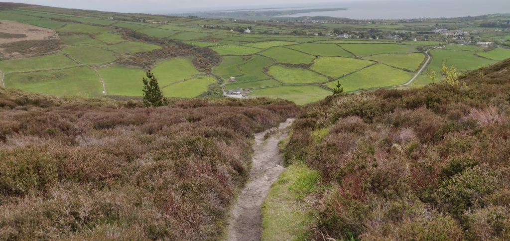
From the farm buildings, you can follow the main track alongside the wood to meet the main road at Bradda East and then go back to the carpark.
The total circuit, including 1 hour of operating time, took 2h45.
Total climbing: 298 m
GD/GD-005 Mull Hill
Mull Hill is another one-point hill, about 15 minutes’ drive from Bradda Hill on the other side of the Port Erin bay. It’s possible to drive to the top but it’s also a very easy walk from just outside of the activation zone to the summit.
We parked in the large carpark at Cregneash and then followed the road west for a little bit before coming to a turning, with the obvious grass path up the hill. Mull Hill is an old Chain Home RADAR site from World War 2 and there are still a few concrete pillboxes and the like on the summit. The rubble-strewn ground made getting tent pegs for the guys in a little bit difficult but we got the stations running in the end. Initially, we just operated on 70cms to get some summit-to-summit contacts with other members of our group on Snaefell, but then we set up the HF stations. In the course of this I managed to break my trusty guying ring for my SOTA pole, so some careful use of cable ties was required to get the mast upright. 30m was again almost useless, but a change to 20m was much more profitable.
We took a slightly different route for our descent but it was still only about 15 minutes’ walk each way. By the way, there are some nice views of the VOR/DME (VHF Omnidirectional Range / Direction Measuring Equipment) site for aircraft navigation on the adjacent hill. The VOR sends ‘IOM’ on 112.2 MHz but wasn’t detectable on 2m.


