I returned to the Vosges region of eastern France in late August 2026 with the aim of getting 100 points from hills I hadn’t activated previously. I stayed with my caravan at the Domaine de Longemer campsite in Xonrupt-Longemer and the summits I chose for my first day were all just a few kilometers from the site. In fact, the Tête de Nayemont and Haut de la Pierre de Taille share a starting point and the routes diverge during the walk, making them a very attractive pair to activate together.
Tête de Nayemont (FL/VO-029)
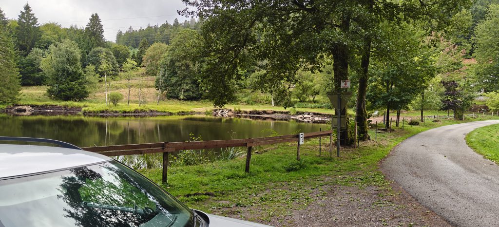
The starting point for this route is just off the D8 road at Martimpré. I parked at the lake but there is also parking around the Chapelle Sainte-Anne a few meters further on. From here the ascent starts along the road which, as improbable as it sounds, runs past the local Dojo (as in martial arts).
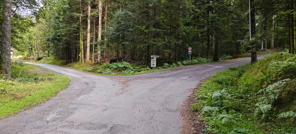
After about 800 meters, the road divides with the Clair Sapin forest track (which you are on) continuing to the right, while the route to Pierre de Taille heads left.
From here, it’s a matter of continuing on the track through the pine forest, initially following the yellow triangle signs, and then the blue cross signs.
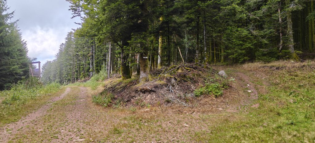
The path gradually becomes narrower and more overgrown, but it is still very easy to follow. At the top, there’s not much to be said for the Tête de Nayemont. It’s a rocky outcrop covered in heather but there is a very useful rock that can act as a very nice seat to operate from.
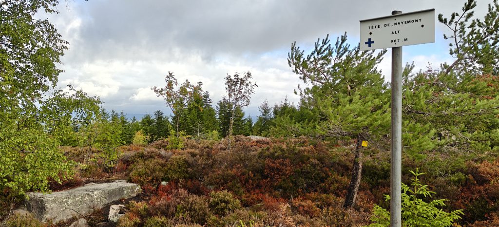
I quickly made 18 QSOs on 30m CW before packing up and heading back to the split to take the track towards the Pierre de Taille. The walk is just over 4.1km for 230m ascent, which took me almost exactly an hour to the summit. The descent back to the split (3.15km) took me 40 minutes.
Total climbing: 232 m
Total time: 00:57:58
Haut de la Pierre de Taille (FL/VO-089)
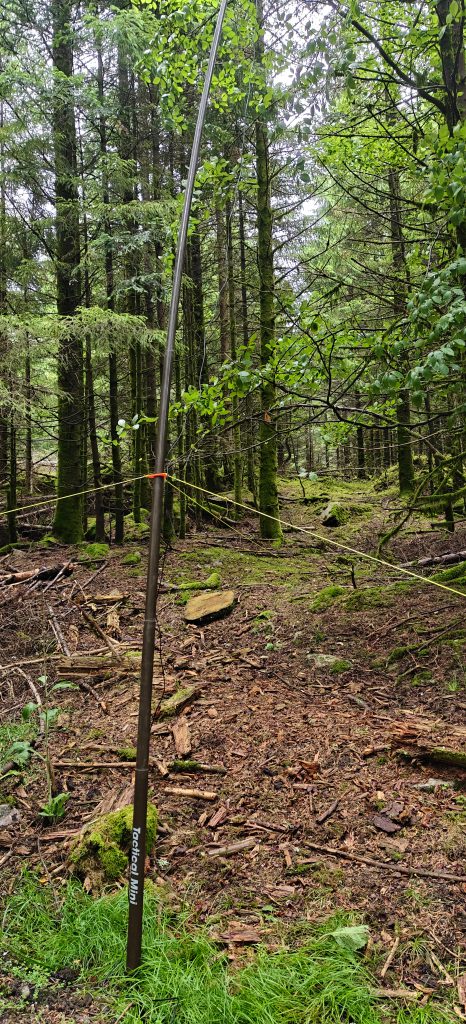
Once back at the route split, it is very easy to follow the Pierre de Taille forest track uphill to the summit. It is only about 1.5km and there’s very little ascent until the last few meters where you have to leave the path and head into the forest to get into the activation zone. Because you’re in a forest, there is little space for antennas but I managed to find a suitable clearing to make 8 QSOs from. It only took me 20 minutes from the split to reach the top and about 30 minutes on the descent (including getting from the split back to the car park).
This was the only hill on this trip that I had activated previously (back in 2019), and I’m somewhat mystified why I failed to spot the obvious pairing with FL/VO-029 on that trip.
Total climbing: 99 m
Total time: 00:21:34
La Croix Hanzo (FL/VO-020)
The route to La Croix Hanzo starts from just a few hundred meters down the road from the previous two hills. From the layby, you walk along the Route Forestière du Pré Petitjean (which is largely tarmaced) to the Route Forestièe du Planeau (which isn’t). This then brings you out to a clearing with a small path where trees appear to have been felled across the path to discourage access. There is a well-trodden route where plenty of people have walked around these obstacles, however, and with no signage indicating that access wasn’t permitted, I pressed on.
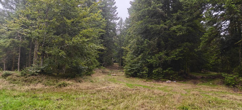
From here, the path became a little steeper and more rocky, but still perfectly easy until you reach the top, where Hanzo’s cross is very visible at the summit.
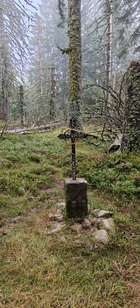
I made another 18 QSOs on 30m CW from here before returning to the campsite. The ascent took just under an hour, comprising of about 3.5km for just under 300m ascent. The descent took me about 40 minutes.
Total climbing: 295 m
Total time: 00:52:59
I had hoped to fit in another hill today but I wasn’t feeling great and the weather had been quite wet at times, so I needed to dry off. It had still been a 30 point day as all three summits were worth 10 SOTA points, and I had plans to do four more new summits tomorrow.

Pingback: Vosges SOTA trip 2026: Day 2 – Le Lauchenkopf (FL/VO-081), Klintzkopf (FL/VO-079), Petit Ballon (FL/VO-082) and Dornsilkopf (FL/VO-172) | Dom Smith