After yesterday’s long day, my final full day in the Vosges targeted a final three 10-point summits to reach my objective of 100 points in three days.
Boule du Diable (est) (FL/VO-173)
This is another summit that goes on the list of not-very-interesting forest walks in the Vosges, sadly. Starting from a fairly large carpark on the D34c, it starts as a fairly major path and then gradually becomes more minor until it’s eventually just a leaf-covered trail among the trees, with the usual Vosges forest flies. The summit is marked with a boundary stone and as usual on this sort of hill, you have to find a clearing in the activation zone to make space for wire aerials.
The only intersting factor about this hill is that about two-thirds of the way up I heard a very large animal panting nearby and I got the definite sense that I was being observed. I carried on and there were no issues but when I spoke to M0RWX later that day (see below), he said that he had seen wild boar footprints on the summit.
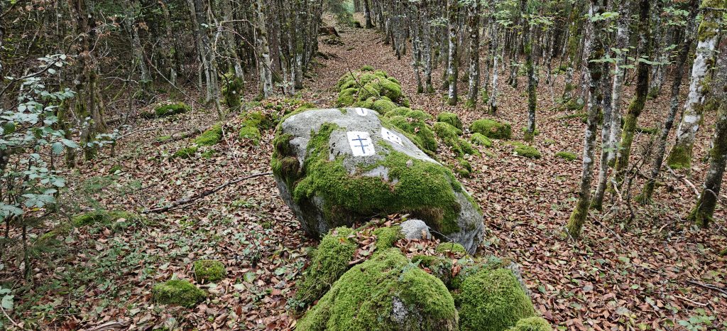
It took me just over 30 minutes to do the 1.9km walk and a little less for the descent. As it was quite early in the morning still and the bands weren’t really open to the UK yet, I made nine QSOs on a mixture of 40m and 30m CW.
Total climbing: 147 m
Total time: 00:31:42
Sommet de Belle Hutte (FL/VO-011)
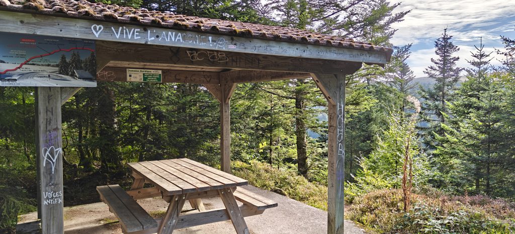
On the other side of the road from the same carpark, the Chemin Morel path is the starting point for the ascent of the Belle Hutte. Again, this is a walk through the forest but a somewhat more enjoyable one than the previous hill. You start by following signs to ‘Les Champis’, which is a fairly narrow, steep and winding but perfectly decent path through the forest. This brings you out to a clearing with a nice picnic bench about halfway along the route.
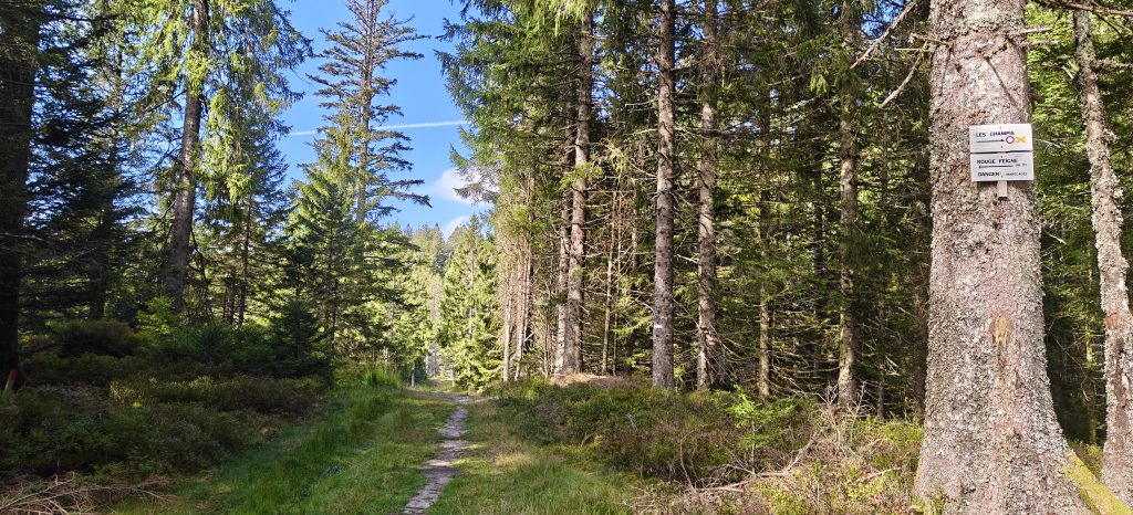
Continuing along the path you follow for Rouge Feigne. Signs warn of the danger of bogs on the path but after a very dry summer, these were just slightly muddy damp patches. It might be a different story after heavy rain, however.
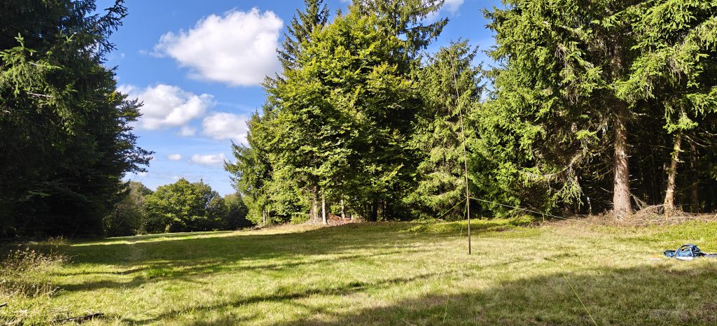
The top of Belle Hutte is marked by a large open field, where there’s plenty of space to set up, although there are also plenty of flies! I made 17 QSOs from here, mainly on 30m CW (plus one summit-to-summit on 40m). It took me 50 minutes to walk the 3km and about 45 minutes for the descent. On the way down, I was surprised by a figure coming towards me saying ‘Good morning, Dominic‘ in English. This turned out to be M0RWX, whom I knew was in the area but he hadn’t alerted to suggest he was planning to do the same hill today. He was planning to operate on SSB, so the second activation in a day shouldn’t have been a problem.
Total climbing: 270 m
Total time: 00:50:35
Grand Artimont (FL/VO-083)
My final summit of the trip started just a few minutes’ drive from the previous carpark at the ski resort of Vologne. With the resort largely deserted in September, there is a very large carpark here and the route starts by heading to the resort’s crèche.
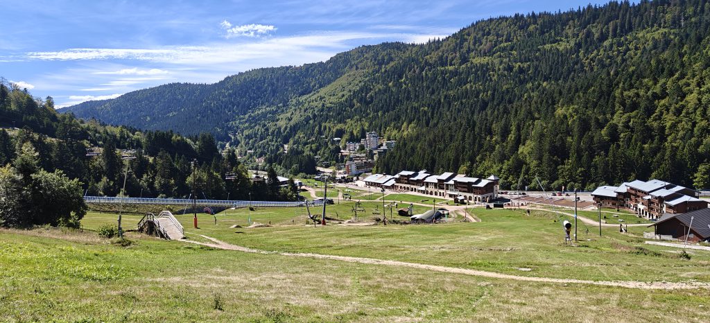
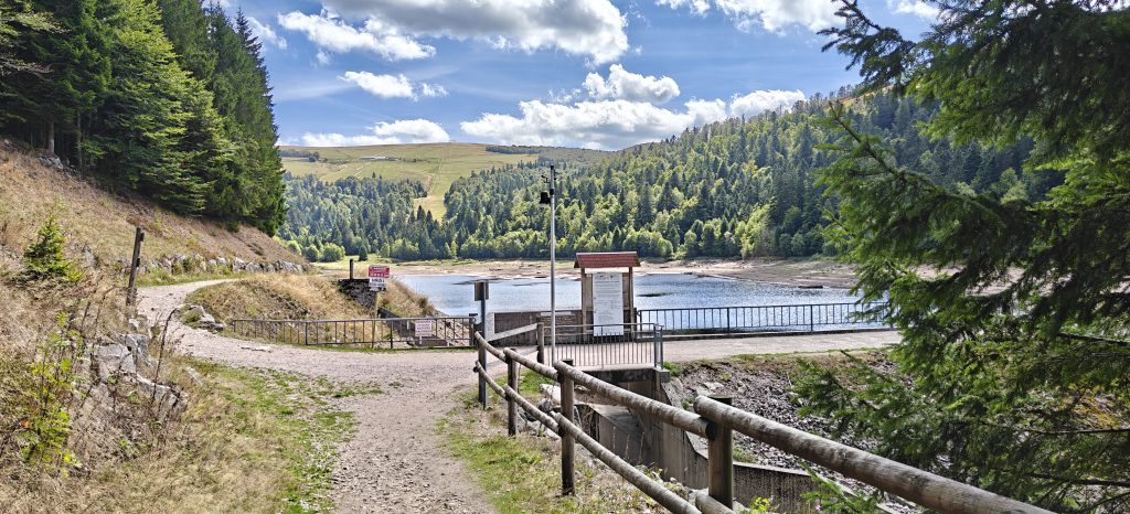
You follow the route uphill past the water treatment facility, following signs to the Lac de la Lande. Note that some of the paths here are cross-country ski routes and marked as not suitable for hiking, so be careful to follow the appropriate signs. You eventually come out to the reservoir, which was very low after the summer. Walk across the dam and pick up the path on the other side of the lake.
Eventually the path brings you out to the bottom of Grand Artimont, under some chair lifts (which sadly weren’t operating at this time of year!), leaving you with a very steep clamber up a red ski run. This is perfectly do-able but it is steep and a tough climb. On quite a warm day, I had to take several breaks.
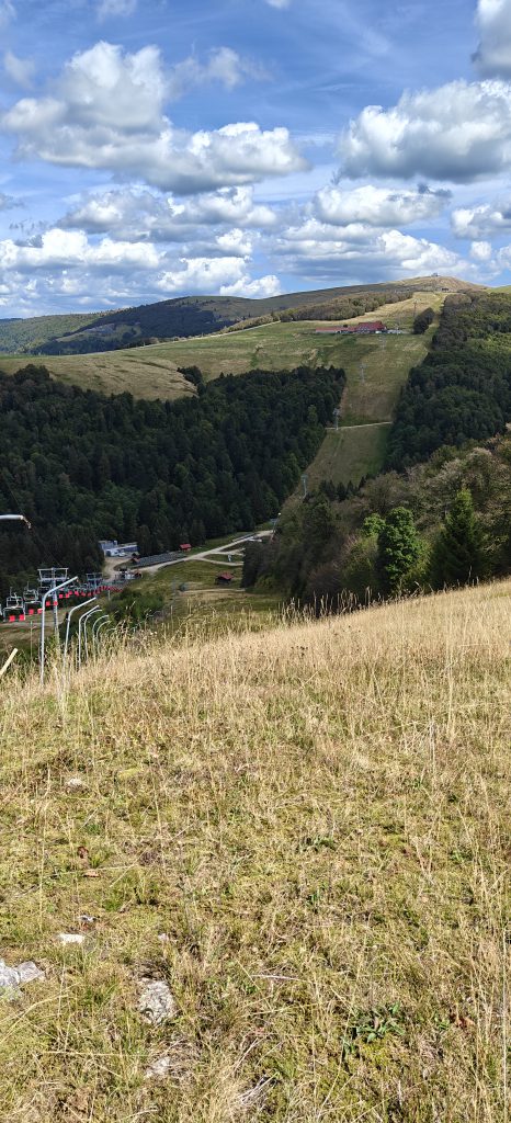
There’s plenty of space at the top where the chair lift ends, and so I was able to sit down, have lunch and make eleven QSOs. One of these was a summit-to-summit with M0RWX who by now was on Boule du Diable (est), and it was now that he told me about the wild boar marks.
The ascent took me just under an hour to do the 2.5km and just over 30 minutes on the much easier descent.
Total climbing: 392 m
Total time: 02:28:25
