After the three summits near my campsite yesterday, today’s four summits were a little further away. The first two start from a location about 40 minutes’ drive from Xonrupt-Longemer, and the other two are another 40 minutes beyond that.
I did Le Launchenkopf and Klintzkopf as a circular walk but note that access to Klintzkopf is forbidden from December to end of June to protect the wildlife. I was fine as today was 1st September.
Le Lauchenkopf (FL/VO-081)
The path up Le Lauchenkopf starts from a very large layby with plenty of parking. You’ll see a signpost to Petit Ballon, which we’ll return on later, but instead of this take the track along the field edge and into the trees. It’s a very quick walk up (less than a kilometer) to the summit, which is little more than a grassy mound but with some decent views. It took me just about 15 minutes from the carpark. I made 9 QSOs from here on 30m CW.
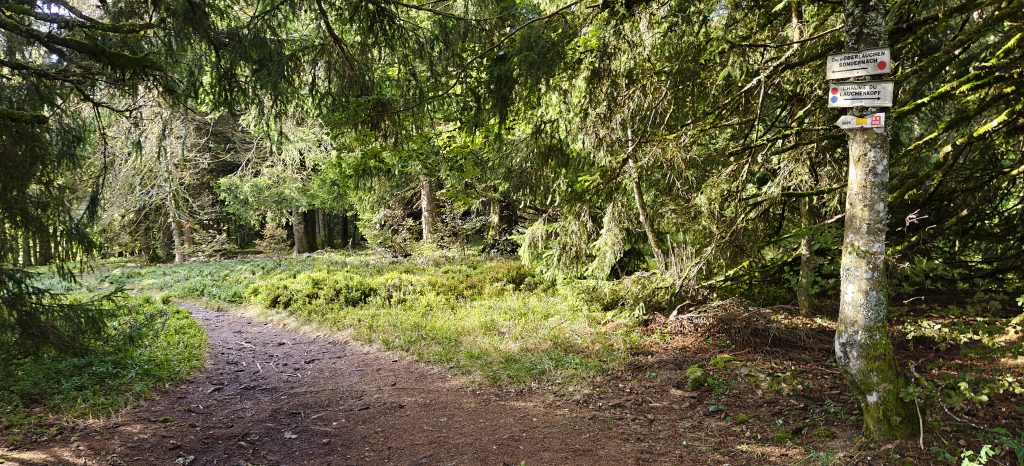
To make this into a circular walk with Klintzkopf, you initially follow the same path down the hill as you came up on, then pick up the path marked with red dots to the Col d’Oberlauchen through the forest.
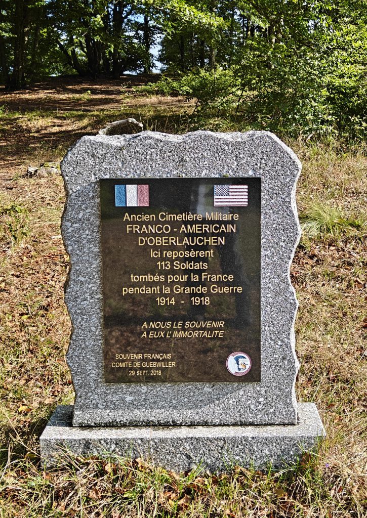
At the Col d’Oberlauchen, there’s a memorial to 113 soldiers of World War One who had been buried at a former military cemetary at this site.
Klintzkopf (FL/VO-079)
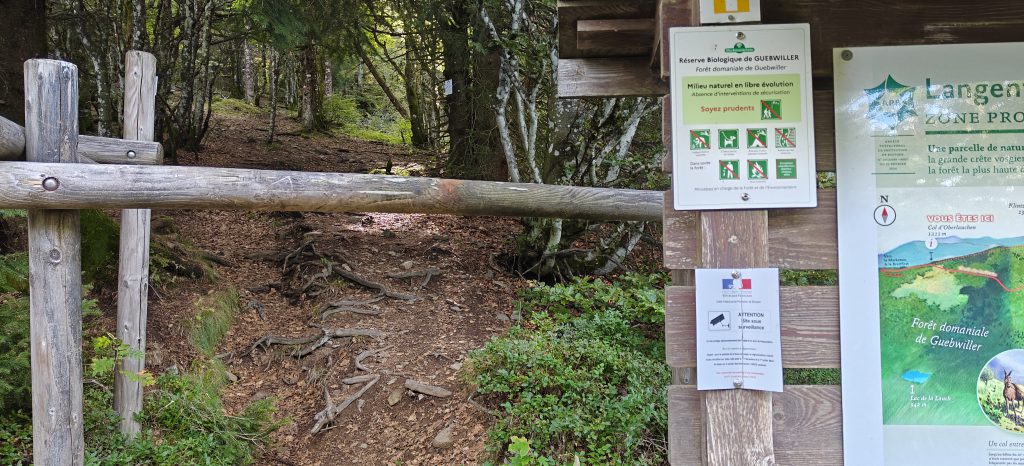
From the Col d’Oberlauchen, follow the signs with the yellow rectangle containing a white square back into the forest. You soon reach a barrier across that path marking the area that is forbidden for seven months of the year and an unlikely warning official government sign suggesting that CCTV enforces the restriction. As long as it is between July – November, you can duck under the barrier and continue up the path.
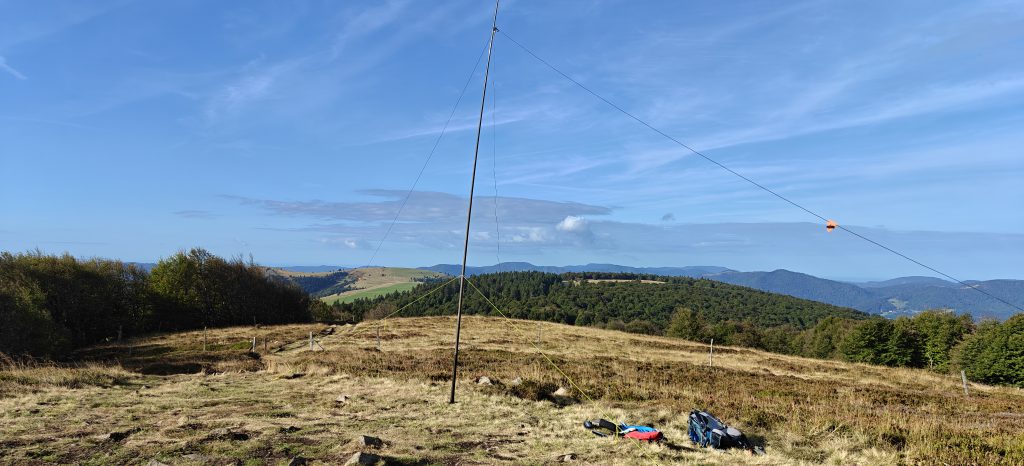
After walking uphill through the trees for a bit, you soon come out to the grassy top of Klintzkopf, where there is plenty of space to set up an HF aerial. I quickly made 6 QSOs, again on 30m CW.
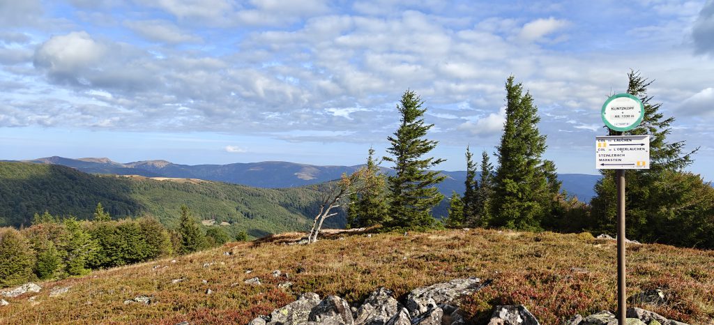
It took me 35 minutes to reach Klintzkopf from Le Lauchenkopf, a distance of about 2km. From Le Lauchenkopf, you can return back to the carpark by initially following the route back to the Col d’Oberlauchen and then picking up the major track that heads directly back. The total circuit is just over 5km.
Total climbing: 234 m
Total time: 02:22:19
Petit Ballon (FL/VO-082)
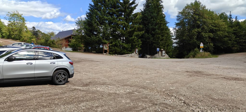
After a short drive, I reached the carpark at the foot of Petit Ballon. This is at the top of a fairly narrow, steep road but it’s a surprisingly large carpark given the rural location. I would definitely approach the carpark from the south as I did, however. The road from the north from Munster looked somewhat rougher.
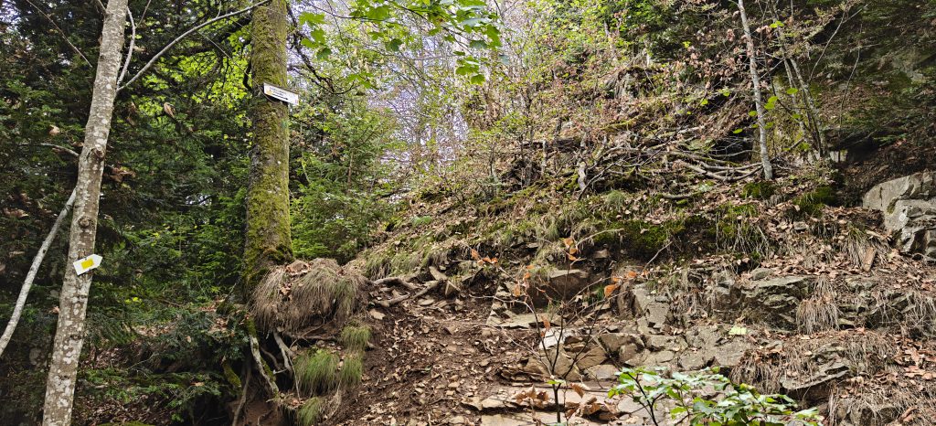
The path starts as a decent track but soon becomes very much steeper and in places difficult to see if it weren’t for the sign posts.
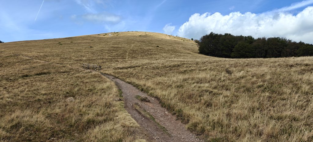
Once at the top of the incline, you join onto a more major easier path once again, which ultimately takes you towards the open grassy summit. One note, however, is that many of the available GPX files take a cross-country direct path to the top. As shown in the photo below, that direct path now has a wooden fence across is, making it very clear that you are expected to remain on the main track which zigzags up the hill.
The top of Petit Ballon is the most bizarre summit I’ve possibly ever seen, with the unlikely combination of a status of Mary Magdalene, a lot of bunting, solar panels and microwave dishes. It was quite a busy summit, but there’s masses of space to set up. I made 15 QSOs from here, again on 30m CW, as well as having some lunch.
The 3.3km took me about an hour to climb, and about 40 minutes to descend.
Total climbing: 401 m
Total time: 01:46:03
Dornsilkopf (FL/VO-172)
After descending Petit Ballon back to the carpark, Dornsilkopf is up a very minor path just on the other side of the road. There really isn’t very much to say about this. It’s only a 600m walk but 50m of ascent, so it’s fairly steep. It’s a ten minute slog through thick forest on barely-visible paths just following paint sprayed on trees.
The summit is marked by an 1842 boundary marker stone. I managed to find a bit of a clearing at the summit to set up my aerial where, like many Vosges forest operations, flies were everywhere. It’s really hard to operate CW while swatting insects that are crawling all over your face and hands! I made 11 QSOs on 30m CW and got off the hill as quickly as possible. This isn’t one I’ll plan to return to.
With all four hills worth 10 points, this was a very successful SOTA day with only one minor bit of stress at the end – my car was fairly low on fuel and the 1h40m drive back to Xonrupt had no petrol stations and a lot of uphill low gear driving. Luckily I made it OK!
With 70 points in the bag over two days, I was well setup to make it to 100 points tomorrow.

Pingback: Vosges SOTA trip 2026: Day 1 – Tête de Nayemont (FL/VO-029), Haut de la Pierre de Taille (FL/VO-089) and La Croix Hanzo (FL/VO-020) | Dom Smith