Enthused by a fairly easy 18 points yesterday on Pico Ruivo and Pico do Arieiro, I aimed to do two one-point hills today, but Penha de Aguia is a much more difficult hill, and so I only had time (and energy!) to do this one. This replan while walking meant that I accidentally ended up sending a SOTAWatch alert for the wrong reference. For the avoidance of doubt, I was on CT3/MI-011, not MI-010. I did send the right reference with the QSOs.
Pico Penha de Aguia (CT3/MI-011)
The start of the walk is at the café at Aguia de Baixo, just outside Faial (32.7888N, 16.8473W). There’s no particular parking here but there are a few opportunities to park at the side of the road. The start of the path is literally along the café’s side wall, even if it feels as though you are going into a private back garden. On the ascent, I was unsure about this so I went a little further up the road to take the ‘agricultural road’, which is a slightly longer way around but also brings you out onto the walking route.
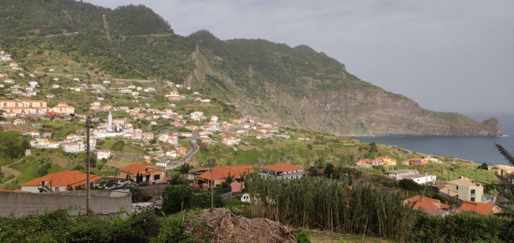
Faial from the start of the walk
The path is defined but less obvious than the others I had encountered on Madeira. It’s just a thin path of dust and mud through the vegetation but at times it does have steps cut into it to assist on the steepest bits.
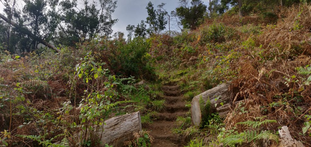
The path itself starts out in fairly open land, twisting along a cliff face (but there are no significant drops to worry about). It then enters woodland, and stays in the trees for the majority of the ascent. Even the top is entirely wooded. One of the more minor factors that made the walk hard work was that near the summit the path was completely carpeted in damp pine needles, making it incredibly slippery.
There were other major two factors that made the ascent so difficult. The first is the steepness. It’s a 2.3km distance for about 450m ascent. That’s a 20% average incline, with parts between 50-60%, especially near the top. Again, it wasn’t impossible and it wasn’t a scramble at any point but I certainly needed my walking pole on the way down.
The other issue was the wind. From about 400m elevation, there was an incessant strong wind coming from the coast, with a few stronger gusts in it. On the most exposed bits of path, where the trees give way to a ledge, I had to time my crossing of the ledge a little carefully.
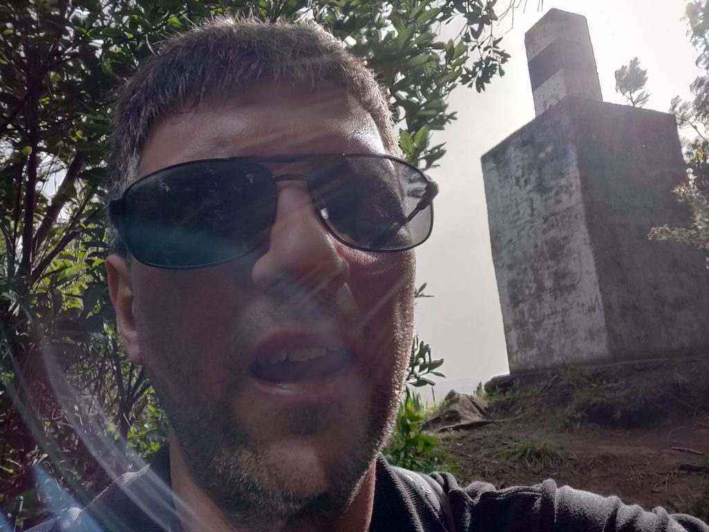
Once at the summit, I was able to bungee my SOTA pole to an olive tree and take out the dipole legs along the length of the path. There’s not a lot of room but it worked. I made 10 QSOs around Europe and didn’t stay any longer as I could hear some trees below me crashing down as they fell in the wind.
The ascent took 70 minutes and the descent about 50 minutes. Having done this one, I certainly felt justified claiming the 29 points for the trip! Be aware that the GPS track below isn’t completely accurate as I kept losing GPS lock in the trees.
Total climbing: 614 m
Total time: 02:32:13


Pingback: 3 days of SOTA in Madeira – Day 2: Pico Ruivo and Pico Arieiro | Dom Smith