In December 2025, I was able to climb a couple of SOTA summits during a family holiday to Guadeloupe (FG).
FG/BT-011 Morne à Louis
I had planned to climb this 6-point hill after visting the Parc de Mamelles Zoo (which incidentally is well worth a visit – allow a couple of hours to walk around the extensive site).
The Morne looks like an easy drive-on hill on the map, and so I figured that I could do it quickly before lunch and then tackle the Mamelle de Pigeon FG/BT-009 in the afternoon.
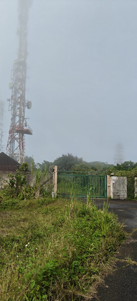
Not so! This used to be a drive-on hill but the promised road leading to the transmitter site at the top has been closed for several years and is now quite overgrown. It’s possible to park at 16.1838 N, 61.7430 W, on the D23 road, and you can walk up to the transmitter site. It’s a moderately steep walk, mainly on tarmac, and it is mainly out of the sun but you are in a rainforest, so expect it to be humid! The ascent took us about 40 minutes, walking quite slowly.

Once at the top, there is space but erecting antennas is difficult because there’s not much soil. Again, the area around the transmitter masts is primarily tarmac road surface and gravel which has become overgrown, so it’s hard to get guys into the ground.
I managed 14 QSOs using a 15m vertical antenna with elevated radials, since I was primarily targetting European QSOs. Fortunately, there was almost no QRM from the commercial site.
By the time I had completed this activation, it was time for a very late lunch, and I highly recommend a trip to the Le Pic restaurant (opposite the Zoo) if you are activating at a similar time of day.
FG/BT-014: Gros Morne
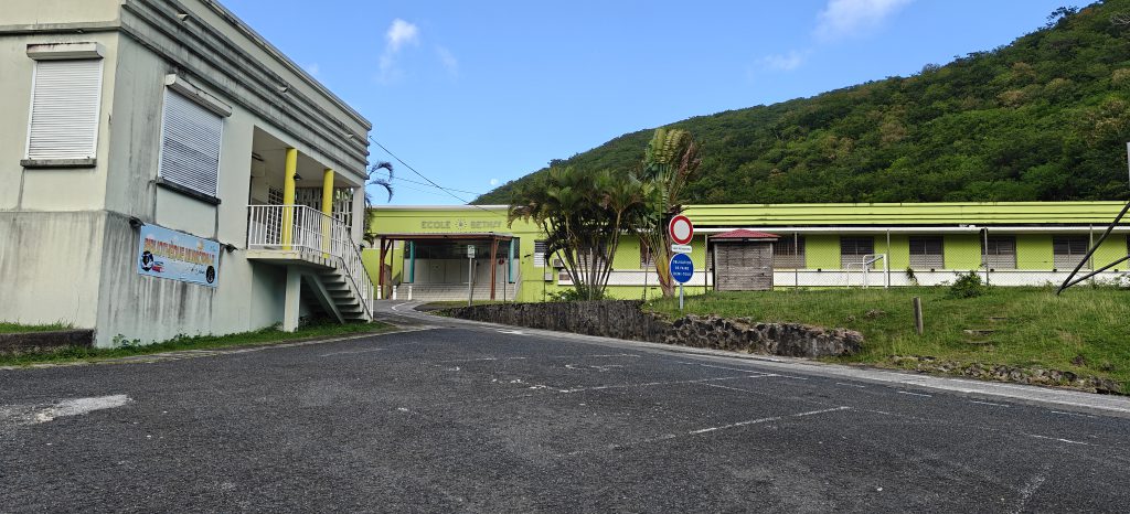
The following day, I climbed Gros Morne, a small 1-point hill on the coast at Deshaies, conveniently close to where we were staying. It is worth doing this one at a weekend, as you can park in the (free) car park between the school and the cemetary. I imagine this is very congested when the school is in session but on early on a Sunday morning, there was plenty of space.
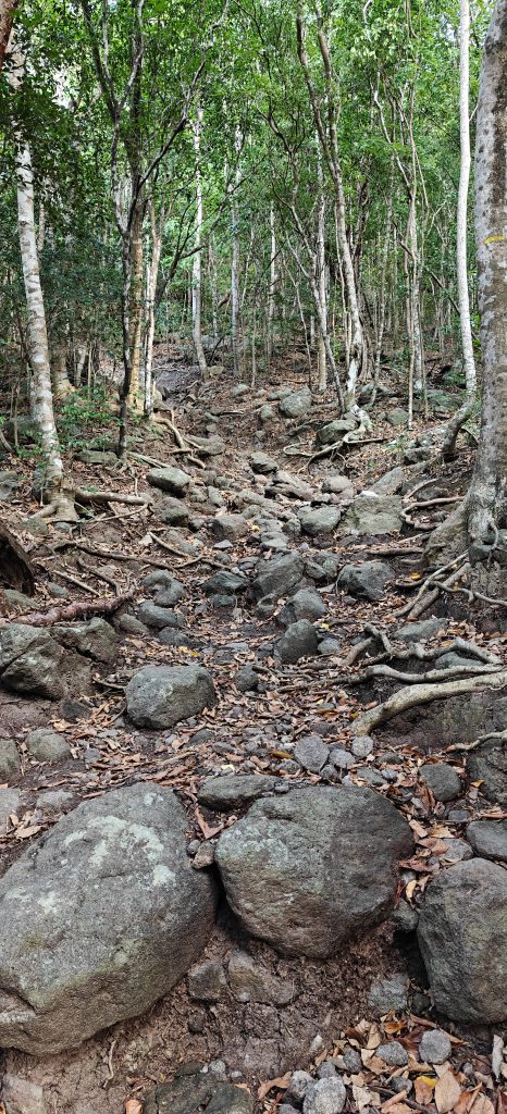
The path starts with the barely visible three steps next to the wooden post in the photo below but quickly becomes a fairly steep 30-minute ascent over rocks and tree roots. I’d certainly suggest walking shoes for this one and to avoid it after heavy rain as I can imagine it becomes slippery in places.
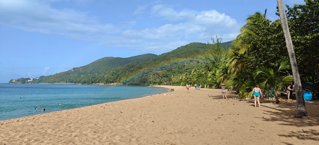
There’s really not that much to say about the summit itself. It isn’t marked in any way. The path just descends back down the other side towards the spectacular Grand Anse beach. There isn’t very much space here due to the density of trees, but I did manage to find just enough room to put up my 15m vertical and make seven QSOs.