During the ZC4UW DXpedition, Rob M0VFC, Dan M0WUT and I spent a morning doing a couple of local SOTA summits, largely so that I could tick off my fourth continent for the SOTA Explorer awards.
It’s winter and we didn’t want to go too far, so we limited ourselves to two four-point summits, about 10kms north of the ZC4UW QTH in the western Sovereign Base Area.
SOTA has only had an association in the Republic of Cyprus since February 2019, so there are still lots of un-activated hills, but we stuck to two which had been done before, given the weather and time constraints.
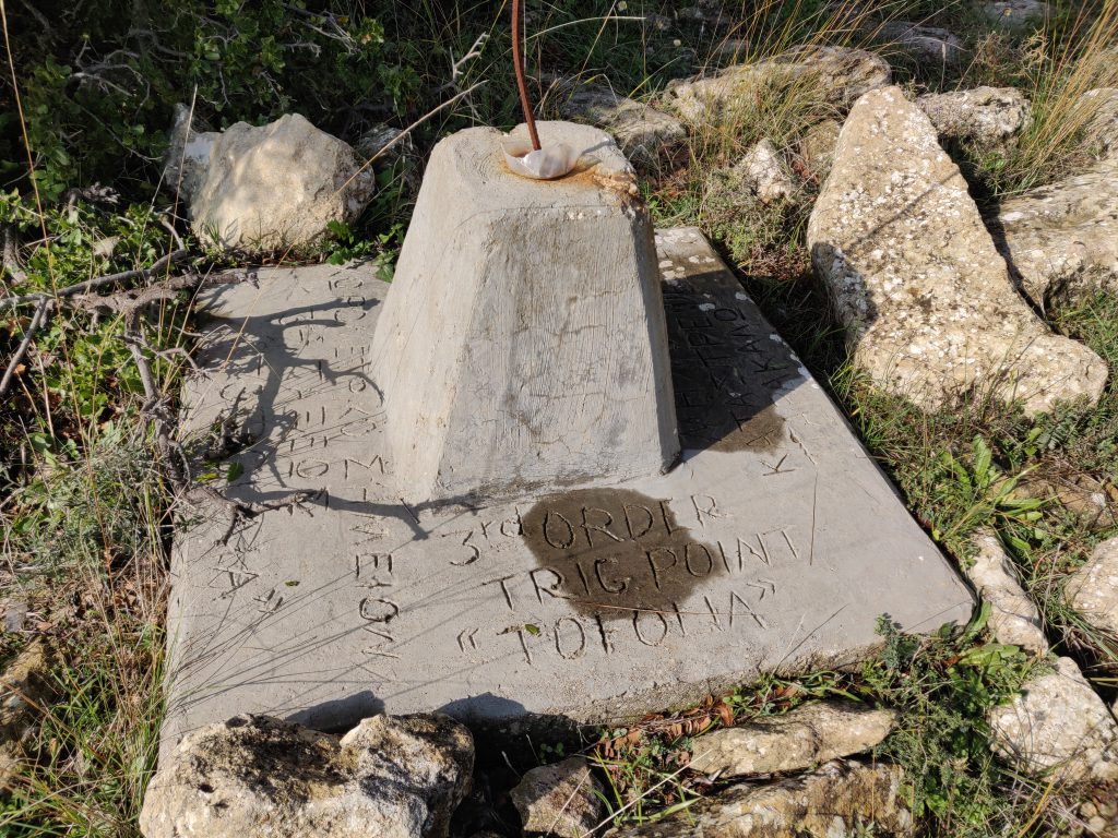
5B/CY-029: Τοφούλια
Activating Tophoulia is pretty easy, though the last hundred metres of road leading to the car park needs some care and attention as there are some steep hairpin bends with little protection.
We parked at the Αγία Μαρίνα monastery in Pachna. There was a fair amount of car parking space available. From the car park, it’s simply a matter of spending 10 minutes picking a path up to the summit, where there is a basic trig point.
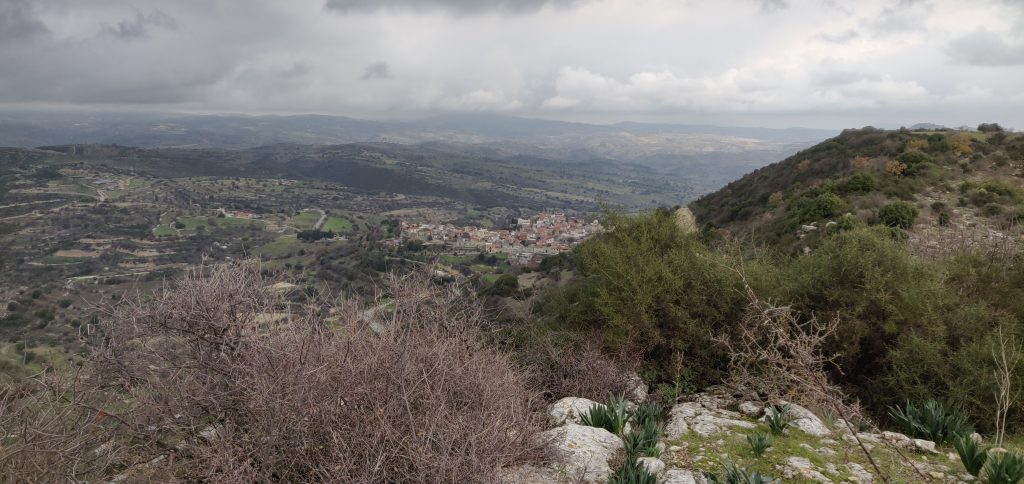
5B/CY-031: Βράχος Δορά
The village of Dora is about 25 minutes’ drive from Pachna, along some perfectly passable but narrow streets. Care needs to be taken particularly in Dora village itself, where my SatNav had a tendancy to take us down the smallest alleyways, instead of more major roads.
On the south-western outskirts of Dora, continue to the monastery at 34.7774 N, 32.7374 E, where again we found there was ample parking on this quiet Sunday, the day before Epiphany.
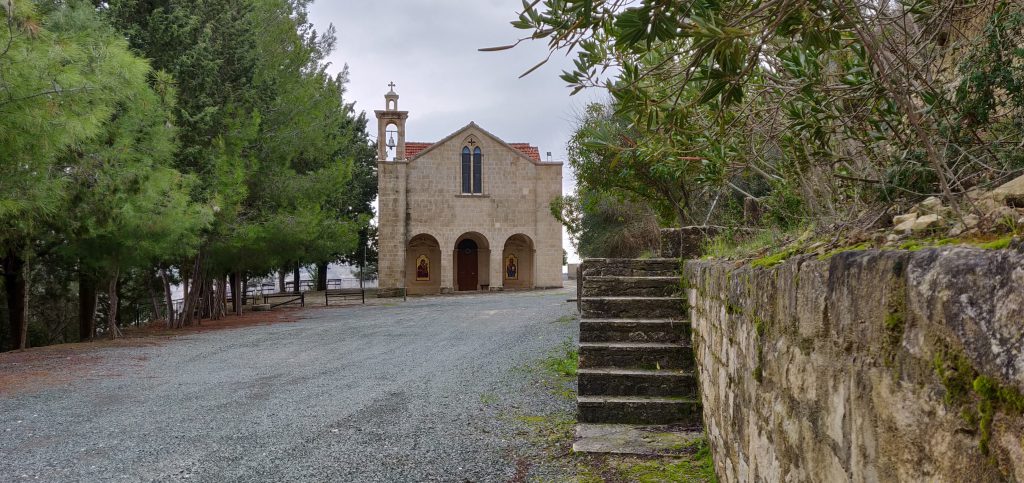
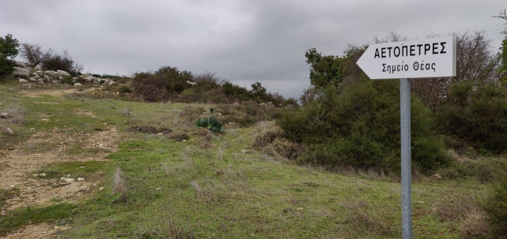
Take the steps to the right of the monastery entrance, which are marked with a walking man symbol. This path leads directly to Rock Dora, the SOTA summit and highest point above the village. Amusingly, the well-kept path has a number of trees labelled with their species.
The climb is very gentle and the wide, earthy, path is clearly defined, so the walk is nice and easy. After about 20 minutes, a sign-post to your right indicates where to leave the path and head to the summit, even though the sign-post itself doesn’t say Rock Dora
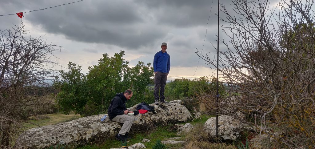
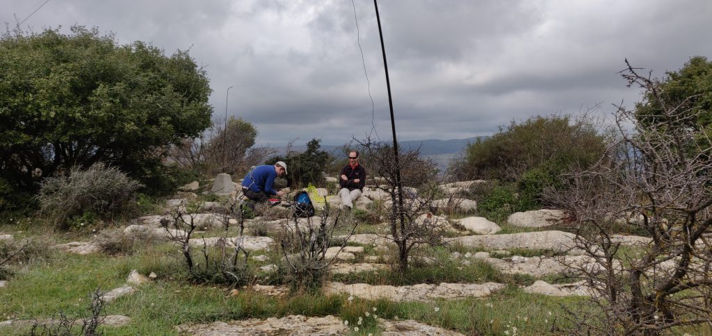
For both of these activations, we made about 20 QSOs between the three of us – sufficient each to qualify – on 20m CW, before heading back to the DXpedition shack to resume working the pileups!


